Pleasant Bay on Cape Cod is protected from the Atlantic Ocean by the Nauset Beach - barrier spit - barrier island system. The bay is surrounded by approximately 42.9 miles of coastline, and its watershed includes the towns of Orleans, Chatham, Harwich and Brewster. A highly valued regional resource, it is designated by the state and recognized by the surrounding towns as an Area of Critical Environmental Concern. This valuable ecosystem, a collection of both living and nonliving components, is at risk from development within its watershed and from human activities within the bay.
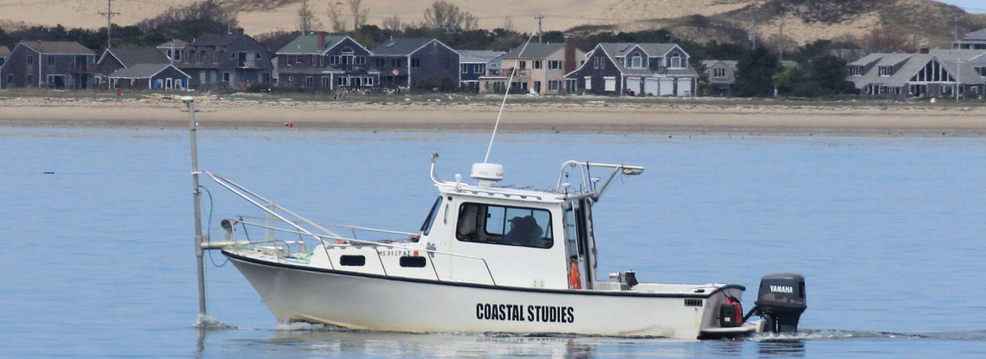
The Friends of Pleasant Bay together with the Cape Cod National Seashore funded CaPE Lab and Center for Coastal Studies scientists to conduct an ecosystem assessment of Pleasant Bay between 2014 and 2017. The goal of this research was to:
develop a dataset of baseline information that assesses the present status of the natural resources of Pleasant Bay and that can be used to develop a long-term habitat monitoring program.
Habitats, ecological or environmental areas inhabited by a particular species or group of species, are made up of both physical or abiotic factors (e.g. grain size, temperature, light, salinity) and living or biotic factors (e.g. food availability, presence of predators) and can be created by ecosystem engineers (e.g. eelgrass, oysters, tube building worms). Adequately describing and defining habitats is challenging, as they change over time and are made up of numerous components, all gradients of one another. Data collected within the same area varies based on season as well as mapping resolution and the habitat being quantified. Therefore, ecosystem-based management requires spatial and temporal data sets that encompass a variety of living and nonliving factors. The establishment of a baseline and its assessment is the first step in understanding an ecosystem. The second is to explore the connection of the inhabitants, fishes, shellfishes and predators, to the resources available.
The goals of this assessment were to:
- Collect bay-wide physical, chemical and biological data sets that would be used in understanding bay evolution and developing high-resolution benthic habitat maps. These data included vessel-based acoustic surveys of the bay, seismic reflection profiling, sediment coring, bottom grab samples and videos to classify sediment and identify micro-invertebrates by sediment type.
- Determine the distribution and relative abundance of individual shellfish and finfish species using a variety of sampling methods.
- Describe the seasonal distribution and numbers for gray and harbor seals at haul-outs inside Pleasant Bay during 2014 and 2015 through monthly aerial surveys.
- Provide additional information on the diet of gray and harbor seals though otolith and hard part identification in collected scat samples.
- Provide an initial representation of the interrelationships among the bay’s biological and physical features.
Publications
Below the Surface of the Bay - Report in Brief
Interdisciplinary Multi-scale Marine Ecosystem Assessment: Pleasant Bay, Cape Cod, Massachusetts
Marine Ecosystem Assessment of Pleasant Bay, Cape Cod, Massachusetts
Using CMECS to Create Benthic Habitat Maps for Pleasant Bay, Cape Cod, Massachusetts