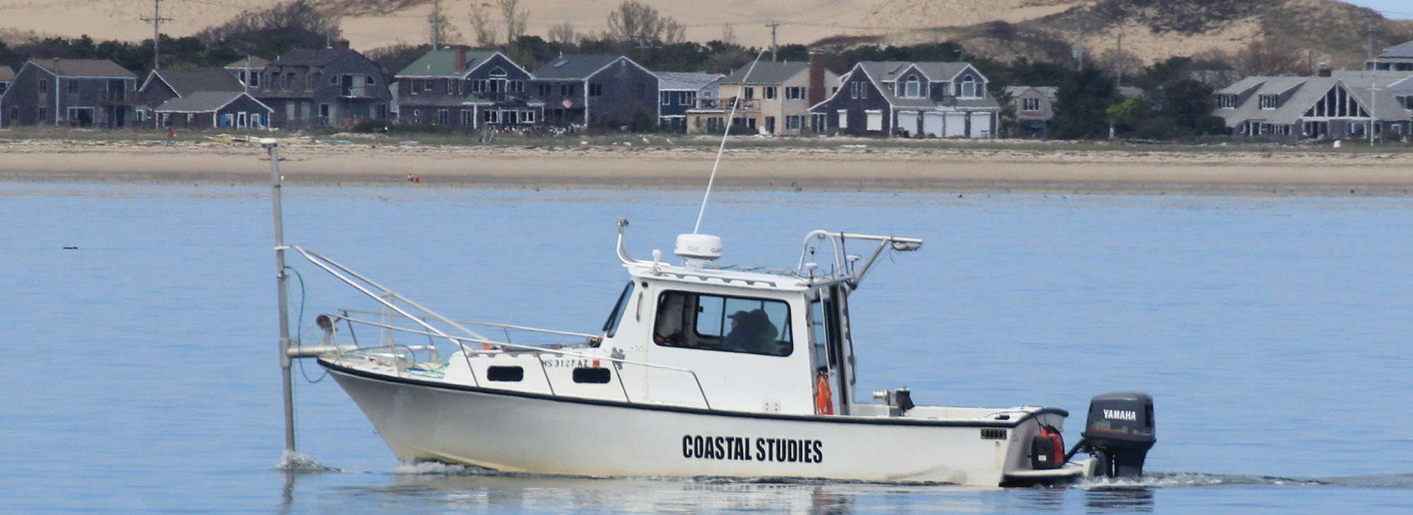
Dan Solazzo is a remote sensing specialist, and a licensed small unmanned aerial system (sUAS) pilot for the marine geology lab at the Center for Coastal Studies (CCS) as well as for the Cape Lab. As the Remote Sensing & UAS Operations Specialist for the lab, Solazzo uses UAS imagery to make accurate, high resolution digital elevation models to map change in coastal systems. He also creates vegetation maps using a special multispectral sensor carried by one of the unmanned aerial vehicles. When not flying, he assists the seafloor mapping and current profiling efforts of the lab that seek to understand the processes that cause coastal erosion.
Solazzo’s thesis research quantified sand volumes at large geographic extents by fusing 2D satellite-derived sand classifications with 3D UAS-derived sand volume calculations for the purpose of completing a sand inventory in the area of the Grand Canyon. He’s worked with the USGS Grand Canyon Monitoring and Research Center to complete a terrestrial LiDAR survey of dune fields in the Grand Canyon, and participated in UAS studies of invasive species, snowpack monitoring, forest structure, biological soil crusts, and sand erosion and deposition as part of the Remote Sensing & Geoinformatics Lab at Northern Arizona University.
PROFESSIONAL POSITIONS
- 1/2019 - Present Marine Researcher, Center for Coastal Studies, Provincetown, MA
- 2018 Remote Sensing Specialist, Freelance
- 2017 Physical Science Technician, USGS, Flagstaff, AZ
- 2014 - 2016 Teaching & Research Assistant, Northern Arizona University, Flagstaff, AZ
- 2014 GIS intern Remote Sensing & Geoinformatics Lab, Flagstaff, AZ