**Website Under Construction**
The CaPE Lab has state-of-the-art coastal mapping instrumentation ranging from vessel-based acoustic instruments designed to map the seafloor in very shallow waters, from ~20 m to the shore, to Unmanned Aerial Systems (UAS), more commonly known as drones.
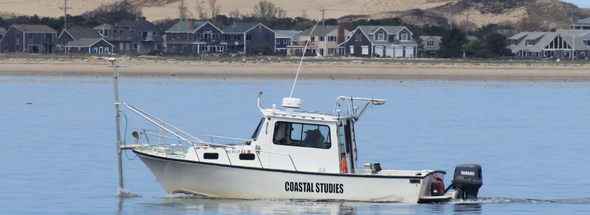
The seafloor mapping field program and facility at the Center for Coastal Studieshas two research vessels for acoustic surveys: a customized 27’ Eastern (R/V Marindin) for shallow, nearshore work and a custom-built pontoon boat (R/V Portnoy) for extremely shallow water surveys. The home port for both vessels is Provincetown, MA. The UMass Boston campus has a Marine Operations Program with a suite of vessels for nearshore and offshore work. With the combined fleet of vessels, investigators in the CaPE Lab have the ability to conduct research throughout southern New England and beyond. All of the vessel-based instruments in the CaPE Lab can be used with almost any boat of opportunity allowing us to do work anywhere in the world.