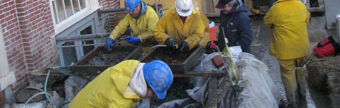
We got a lot of questions last week from visitors to Gore Place about whether we were preparing to build something; one hopeful kid asked if we were putting in a playground! All of these questions were understandable, since we had laid out many colorful flags and were working with the total station to survey various points. In fact, however, these were all to guide our geophysical survey, not to plan construction. The flags mark points on a grid system over the site, and we take data along those lines so that we always know exactly where in space the data comes from.

Last week, we used a method called Ground Penetrating Radar (GPR) which sends energy into the ground and records the reflected energy that comes back. Different buried objects and surfaces will reflect back different amounts of energy, giving us a map of sorts of what is below the surface. In the photos, you can see the GPR antenna, which is a box that is dragged across the ground. We’ll use the GPR information to plan our archaeological excavation.

John Steinberg and Brian Damiata conducting a GPR survey.
We’re working in the area just past the parking lot on the entrance drive which was the location of Christopher Gore’s greenhouse constructed ca. 1806. From some earlier work, we know that parts of the greenhouse are preserved below the surface. This season’s excavation will uncover sections of the greenhouse to see how much we can learn about its appearance and layout. Since it was destroyed in the 1840s, there are no photographs of it, nor are there any known drawings that show what it looked like (thought the location and outline appear on two maps).
Another common questions is why we are using methods like GPR if the greenhouse shows up on maps. There are a few reasons. Although the maps are fairly accurate, they are not always precise enough to tell us where exactly on the modern landscape the building would have been. Since archaeological excavation is slow, we want to start in exactly the right place. GPR also helps us determine which parts of the building are best preserved, again so that we can choose the best place to excavate. Finally, not everything from the past landscape got put onto maps — when we started processing the data last week, we got a wonderful surprise about another possible feature in the vicinity of the greenhouse. That will be the subject of another post — stay tuned!
The excavation itself starts at the end of next week and runs till June 29th. The Gore Place grounds in Waltham, Massachusetts, are open to the public, so we hope you will take the opportunity to stop by and see the work in progress.