
1834 Lyman map aligned based on Fiske Center excavations.
We did get some very nice Ground Penetrating Radar (GPR) results. You can learn more about GPR at Wikipedia and the Slice software we use at GPR-Slice.
To begin to understand the results , we need to go back to our previous excavation, led by Christa Beranek, in 2008. She and the rest of the Fiske Center, uncovered a brick floor that had very unusual sides, and we assume that it was the extension to the greenhouse, specifically outlined in a map from 1834 made for Theodore Lyman, who owned the property after Christopher Gore. We aligned that 1834 Lyman map with the stable (now moved to the north) and the brick floor, in order to get some idea where the greenhouse would be.
We now have some GPR results that suggest that we have found the north and south Greenhouse walls. These are very clear in the deeper slices (maybe about 65 cm below the ground surface – slices 12-14).
 The main oval in the middle is caused by a gravel layer, that until a week ago, used to surround a oval garden of boxwoods.

Shallow GPR slices (about 35 cm below the ground surface) with the 1834 Lyman map.
What also shows up clearly is the greenhouse fence or wall that enclosed the structure. It is interesting to note that in the Lyman map, the southeast corner is drawn as a curve, with is consistant with the GPR results from the southeast. What is new is the circle to the east (right) of the gravel oval. This circle has a strange football like appendage to the south. We have not seen this feature on any map. It looks like there may be paths going into an inner circle. The outer circle and the football appendage appar to interface directly with the greenhouse outer fence that is in the Lyman map.

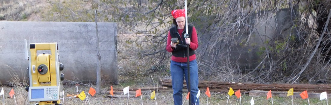
Brian Damiata explaining the GPR-Slice images to UMass Boston Historical Archaeology MA sudent Sean Romo
This data took 7 hours to collect and Brian was up well into the night processing it.