In May of last year (2021) the Marblehead Museum was able to reunite the whole of the Jeremiah Lee Property when the organization purchased the neighboring Brick Kitchen at 157 Washington St.
In a May 18, 2021 article in the Marblehead Reporter by Chris Stevens, Marblehead Museum Executive Director Lauren McCormack muses that maybe one day there will be an archaeological excavation at the newly unified property.
The first phases of that archaeological excavation at the combined Lee Mansion and Brick Kitchen have begun. In preparation for excavations in June of 2022, the staff and graduate students of the Fiske Center for Archaeological Research have been studying the site, georeferencing old maps, taking drone photos of the property, and conducting a series of geophysical surveys.
The Mansion and Brick Kitchen were constructed in 1766. Jeremiah Lee died in 1775, and his estate was eventually liquidated in 1788. His widow, Martha Swett Lee, may have continued to use the house after Lee’s death. The Lee property has been owned by the Museum since the early 20th century and served as the Marblehead Bank for most of the 19th century. Due to the long period of institutional use (with minimal construction, demolition, and utilities), there is a potential for well-preserved 18th-century deposits on the property.
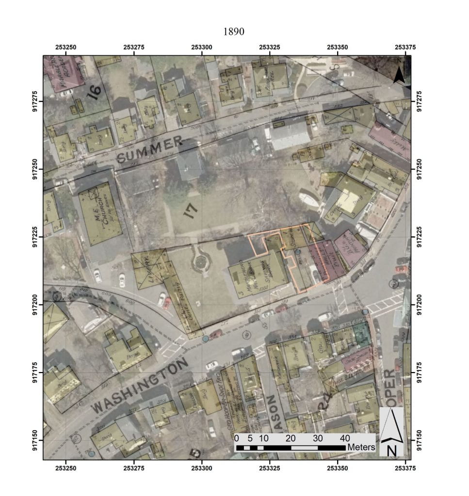
Before we interpret the results of the geophysical surveys and plan excavations, we try to georeference every old map we can of the area in question. There is a wonderful series of georeferenced maps on the Marblehead Historical Commission’s website. The maps in this post have been georeferenced specifically for the Lee Mansion property. Below is a sample of some of the many maps that we looked at, to understand the complex history of the site.
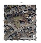
The 2022 excavations will concentrate on the area between the Mansion and the Brick Kitchen. This area of investigation is highlighted in orange on this aerial photograph.
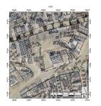
While there are several earlier maps of Marblehead, the 1850 Henry McIntyre map is the first one with any details of the Lee Property. It shows the Mansion (labeled Md. Bk), the Brick Kitchen to the east, and an upside-down “L” structure to the west that is no longer standing. Behind and between the Mansion and the Brick Kitchen another structure is indicated.
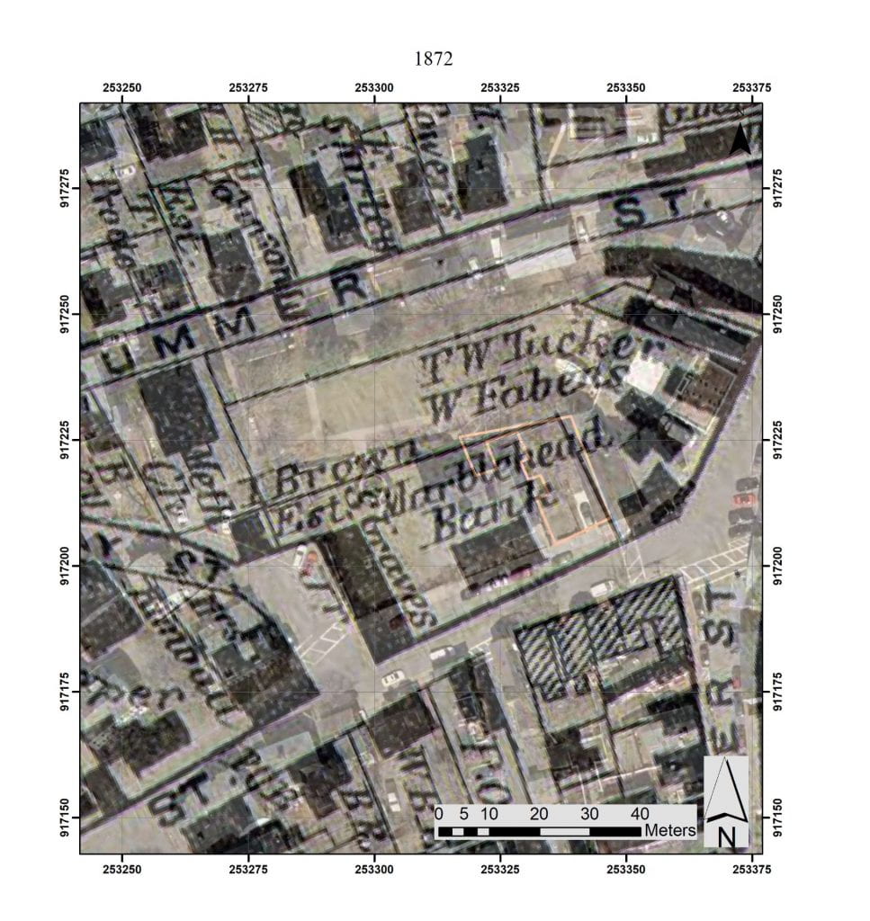
The 1872 map of Marblehead center, published by D.G. Beers shows the Mansion (labeled Marblehead Bank), the Brick Kitchen, and structures to the west.
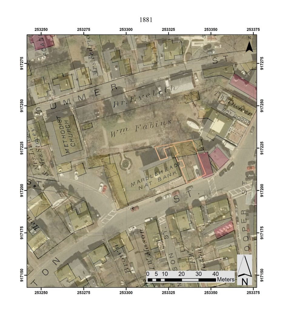
The first really detailed map is from 1881, called the Atlas of Marblehead, published by Griffith Morgan Hopkins Jr. On this map, structures with an x through them are stables or sheds, and brick buildings are colored pink. Stables are indicated to the west of the Mansion and a large stable/shed is drawn at the end of the area between the Mansion and Brick Kitchen.
An 1890 map is an extremely detailed map of the area. It is also one of the famous Sanborn fire insurance maps. This map shows a blue dot indicating a well or well pump between the Mansion and Brick Kitchen. The image shows the northeast kitchen addition to the Mansion. The large shed drawn in the 1881 map (above) seems to have been replaced by a smaller storehouse. The structures to the west of the Mansion are still indicated.
These georeferenced maps are an important tool in understanding the development of the site and interpreting the geophysics and planning and interpreting the archaeological excavations

May 3, 2022 at 3:26 PM
So exciting! Can’t wait to see what a dig reveals!