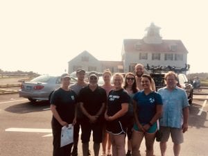
This past summer has been a busy and productive one for the members of the Fiske Center. In conjunction with the National Park Service (NPS), Cape Cod National Seashore one of the more interesting projects was to assess and to aid in management of a series of potentially endangered archaeological sites in Wellfleet, MA. The project area is on Great Island and Great Beach Hill, which are the two largest sandy areas that make up the peninsula that defines the western side of Wellfleet harbor and separates it from Cape Cod Bay. This is a dynamic area and one of the island towns in the area has already been submerged. These islands have been found to have both Native American and European Colonial archaeological sites. The most famous site in the area is the Samuel Smith Tavern. This site was excavated by James Deetz in 1969 and 1970. More recently, in 2012, the area around the Samuel Smith Tavern was explored by The Public Archaeology Laboratory in cooperation with the NPS. Reassessing the extent and preservation of the Tavern site was a central part of the current joint project. As part of that work we georeferenced the 1969 and 1970 excavation datum and the earlier excavations boundaries were redefined, in light of later, much more extensive work.
During the PAL survey, there were several large shell middens identified that were eroding out of sea bluffs on Great Island and Great Beach Hill. Shell middens are trash piles, and as the name suggests, consist of mostly shell. Several of the eroding shell middens are on sandy cliffs that are 80 feet high and at the same time deeply buried by wind-blown sand. These conditions make the sites difficult to assess, let alone excavate. One of the outcomes of the joint NPS-Fiske Center project will be to assess the shell middens likelihood of suffering further erosion as well as to define their areas.
Thus, for three weeks in August the crew set out on the two and a half mile hike every morning to develop answers to these questions. Stay tuned for what we found.


